
Climbing Mt. Takao may be started from the Takaosanguchi Station (高尾山口駅), the terminus of the Keio Takao Line (高尾線). There are many trails available, each offering something different from the others, but for this trip, my friends and I used (from what I remember) the Inariyama trail (稲荷山コース) to the top of Mt. Takao, then the Mt. Takao/Mt. Jimba trail (高尾山・陣馬山コース) to Mt. Kagenobu and Mt. Jimba.


The Inariyama trail may be a little dull for some since you have to really hike and not see anything nice, though this is probably the trail best suited for those who want to commune with nature. The hike to the top of Mt. Takao may take 1.5 to 2 hours, depending on your pace.


The challenge started when we took the Mt. Takao/Mt. Jimba trail going to Mt. Kagenobu and Mt. Jimba. The trail between Mt. Takao and Mt. Kagenobu was quite steep for the most part, while the trail between Mt. Kagenobu and Mt. Jimba appeared to be longer than it really was, partly because of the fatigue that started to set in. We almost did not continue from Mt. Kagenobu, but when we reached Mt. Jimba, I guess it was all worth it. Besides, the descent from Mt. Kagenobu may be also as long as the ascent to Mt. Jimba and back down.
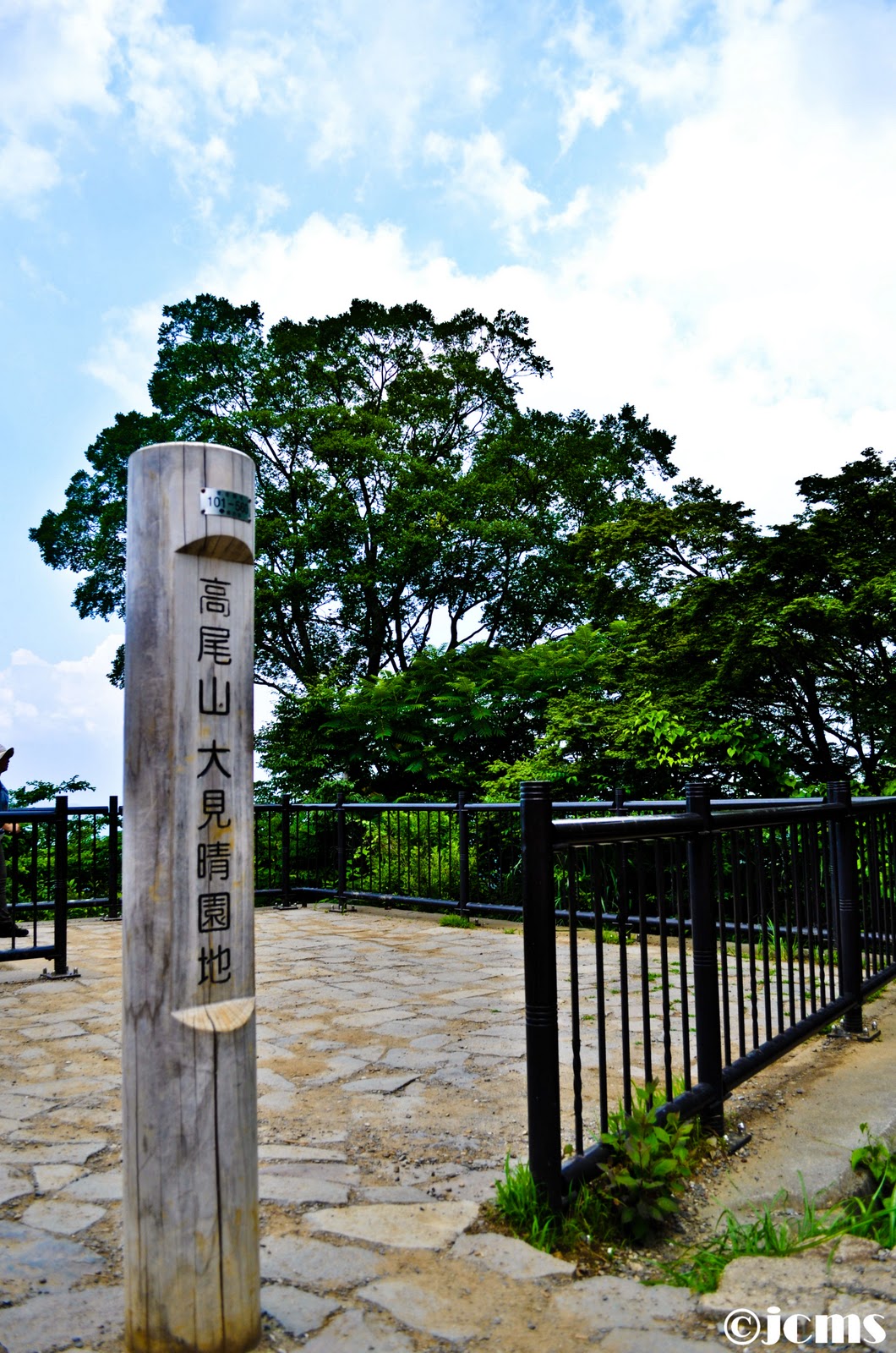
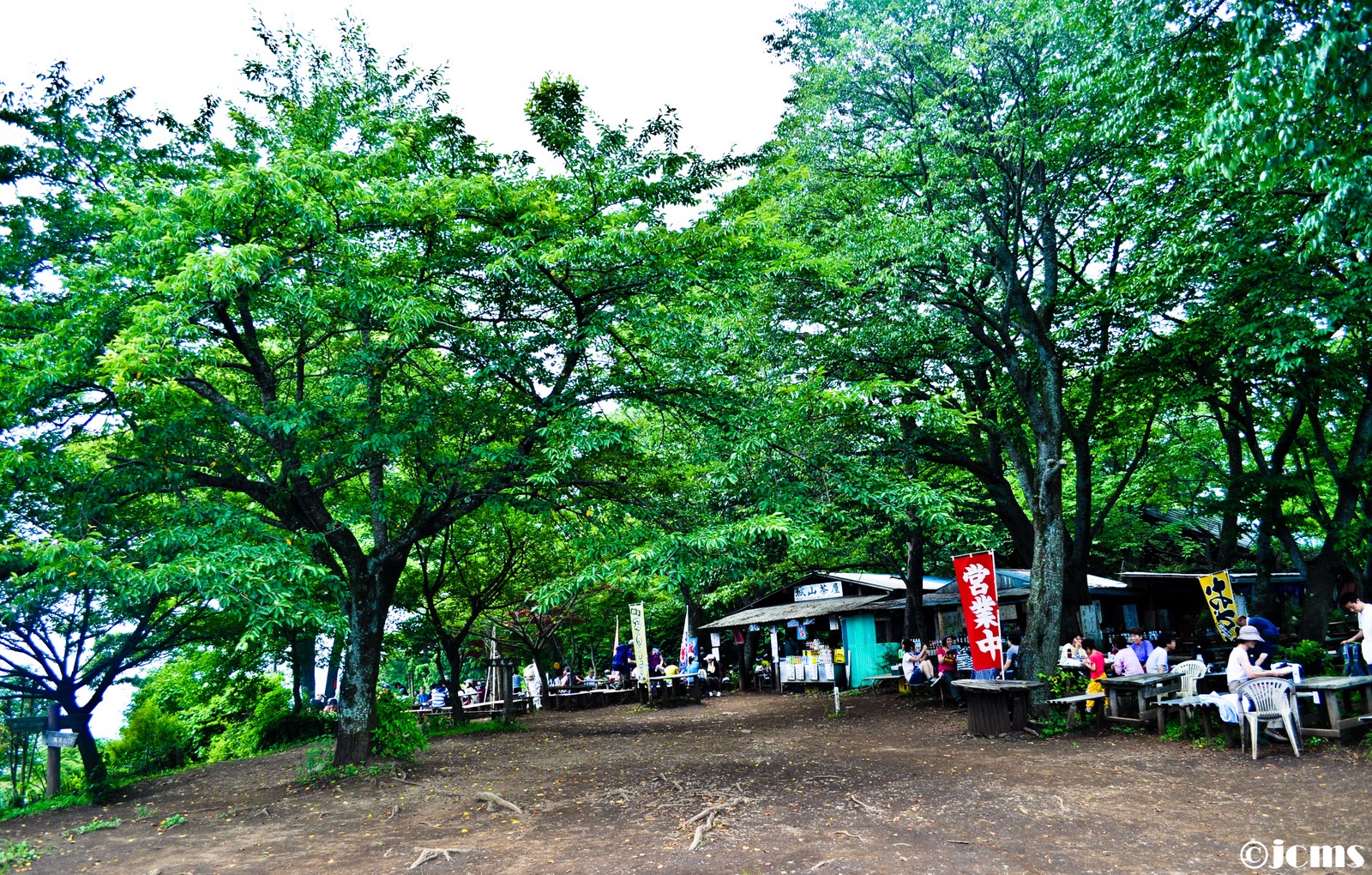
These are what I have for the trail between Mt. Takao to Mt. Kagenobu:


There aren't much things to see between Mt. Kagenobu to Mt. Takao (and I was also very tired at that time to take pictures), so what I have are just pictures at the top of Mt. Jimba:


For the weather forecast in Japan, I use tenki.jp (link).
To get around, you may use Jorudan Train Route Finder (link).
For other stuff about Mt. Takao, here is the official website (link).
naks naman. yun diagonal trees parang na-out-of balance ako haha. special mention to the stairs photo. pwede, pwede.
ReplyDeletenaks naman, may comment ako, hehe. salamat, salamat.
ReplyDelete